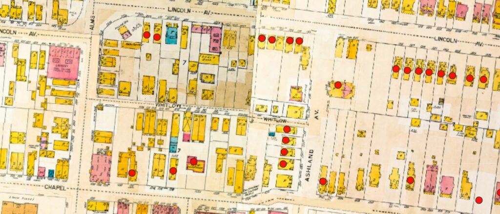
HistoryForge is an on-line application that links census information to historical maps. The project started in 2023. Since then, we have loaded over 14 historical maps, dating from 1847 to 1977. We’ve been concentrating on transcribing the 1940 census and, to date, have more than 13,000 people identified who lived in our neighborhood then.
Interns from University of Cincinnati and Xavier University, along with community volunteers, enter the census data and research topics that particularly interest them.
Presentations such as our class on Walnut Hills History for OLLI (Fall, 2024) are greatly enhanced by the level of detail we can show through the maps and census data. We are always willing to share our neighborhood’s history — please let us know if you’d like us to give a talk to your group!
Want to learn more? Please get in touch: walnuthillsstories@gmail.com